
Quick answer
The lake lucerne cruise map displays 32 public piers across five lake arms—Lucerne Basin, Küssnacht Arm, Uri Arm, Gersau Basin and Alpnach Arm—served by historic paddle steamers and modern motorboats. Free printed maps are available at Bahnhofquai pier in Lucerne and aboard all vessels, showing route frequencies, transfer points and connections to cogwheel railways at Vitznau and Alpnachstad. Most routes originate from Lucerne's central pier opposite the railway station.
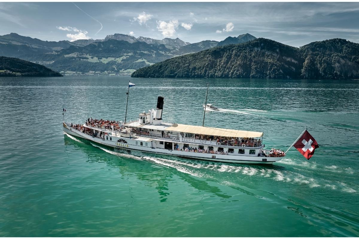
Lake Lucerne holds the distinction of being Switzerland's most geometrically complex lake, its five radiating arms creating natural barriers that shaped settlement patterns for centuries. The Vierwaldstättersee—its German name meaning Lake of the Four Forest Cantons—spans 114 square kilometers with a shoreline so convoluted that direct land routes between neighboring villages often require lengthy detours, making water transport historically essential and still practical today. The lake lucerne cruise map reveals a hub-and-spoke system centered on Lucerne's Bahnhofquai pier, where all major routes converge throughout the day. The longest route runs south through the dramatic Urnersee section to Flüelen, a 2-hour 50-minute journey past sheer rock faces and the Rütli Meadow where Switzerland's founding oath was sworn in 1291. Shorter crossings link Lucerne to Weggis and Vitznau on the eastern shore, both serving as gateways to Mount Rigi via Europe's first mountain railway. The western Alpnach Arm terminates at Alpnachstad, where the world's steepest cogwheel railway climbs to Mount Pilatus. Navigation requires attention to vessel types and seasonal schedules. Five historic paddle steamers—some dating to 1901—operate daily May through September but run limited winter schedules, while modern diesel ships maintain year-round service on core routes. Certain piers are request stops where passengers must signal the captain, a detail marked on official maps with a small hand icon. The SGV company operates all public services, and their timetables coordinate precisely with Swiss Federal Railways connections at Lucerne, Flüelen and Alpnachstad. Route planning depends on whether your destination lies on a through-route or requires a transfer. Direct service from Lucerne reaches Weggis in 45 minutes and Vitznau in one hour, but reaching Gersau or Brunnen often involves a mid-lake transfer at Beckenried or continuation on the full Flüelen line. The lake's depth—reaching 214 meters in the Urnersee—and sudden weather changes in the mountain-enclosed southern arms occasionally force route modifications, so real-time departure boards at major piers provide the most reliable information during unpredictable conditions.
“The lake's five radiating arms create natural barriers that made water transport historically essential and still practical today.”
Planning Your Journey With a Lake Lucerne Cruise Map
This plan suits cruise travelers who want to explore multiple lake arms in a single day, using the map to coordinate transfers and maximize scenic variety. Budget 6–8 hours for a full circuit.
Board at Bahnhofquai
Purchase your route-specific ticket at the pier kiosk or aboard. Morning departures offer the calmest water and best visibility across the lake arms.
Cruise to Vitznau Arm
Follow the eastern route on your map toward Vitznau and Weggis. This leg showcases the Rigi massif and takes roughly 90 minutes one-way.
Transfer to Flüelen Route
Consult your map at the Vitznau pier to identify the next departure toward Flüelen. The southern arm stretches beneath the Uri Alps and requires a separate ticket segment.
Navigate the Uri Arm
This route terminates at Flüelen, the lake's southernmost point. Check your map for return schedules; services run hourly during peak season.
Return via Brunnen
The western shore route passes Brunnen and the Rütli meadow. Use the map to note intermediate stops if you plan shorter hops between villages.
Disembark and Review
Back at Bahnhofquai, compare your actual route against the printed map. Mark any stops you missed for a future visit.
Accessing the Lake Lucerne Cruise Map Starting Point
The Lake Lucerne cruise departure point is located at Bahnhofquai, 6003 Luzern, situated directly adjacent to the main Lucerne railway station. Visitors arriving by public transport can reach the pier by walking across the station square.
SBB train to Luzern station
Bus lines to Bahnhofplatz
From Lucerne station exit to pier
Drop-off at Bahnhofquai
Optimal Timing for Using Your Lake Lucerne Cruise Map
The best arrival window for your cruise is 06:00–10:00, which offers the clearest views and avoids peak midday crowds. Adjusting your timing based on seasonal light helps ensure optimal visibility for navigating your cruise map.
Weekday mornings
Minimal congestion—
Morning departures provide calm water and lower passenger density. This allows for easier navigation of the cruise map during your journey.
May to June
ModerateMild with 15°C to 20°C
Spring offers long daylight hours and blooming alpine flora. These months provide stable conditions for viewing the landmarks mapped along the shore.
September to October
Low to moderateCooler with 10°C to 16°C
Autumn light creates sharp contrasts on the surrounding mountains. The weather remains temperate, supporting comfortable outdoor seating on the deck.
Verdict: For the most consistent experience, target an arrival between 06:00 and 10:00 on a weekday during May or September.
Key Landmarks on Your Lake Lucerne Cruise Map
A cruise on Lake Lucerne provides access to various geographical and historical landmarks situated along its shoreline. Reviewing the map reveals several points of interest that define the character of the region.
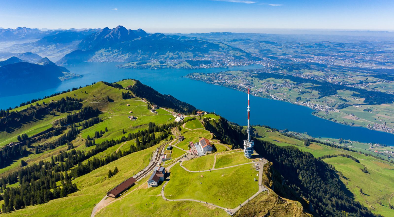
Mount Rigi
Often referred to as the Queen of the Mountains, this massif offers expansive views over the central Swiss landscape. It is accessible via boat connections that link to mountain railway systems.
View from the top deck during the ascent toward Vitznau.
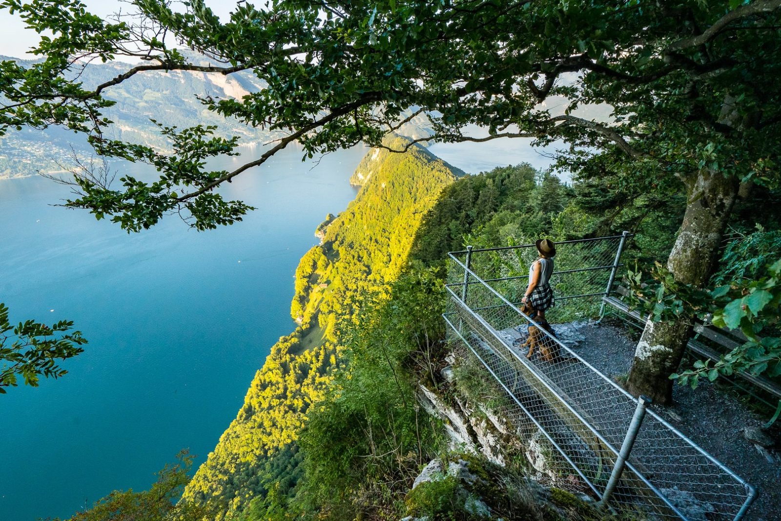
Bürgenstock
This mountain ridge features a resort area and a cliff path overlooking the lake. The high-altitude position provides a distinct perspective of the water below.
Observe the cliffside architecture from the passing cruise deck.
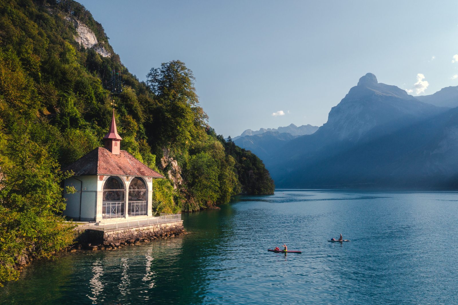
Tellskapelle
Located on the Urnersee arm of the lake, this chapel commemorates the legend of William Tell. It stands at a site traditionally associated with his escape from Gessler.
Spot the chapel’s murals from the water side.
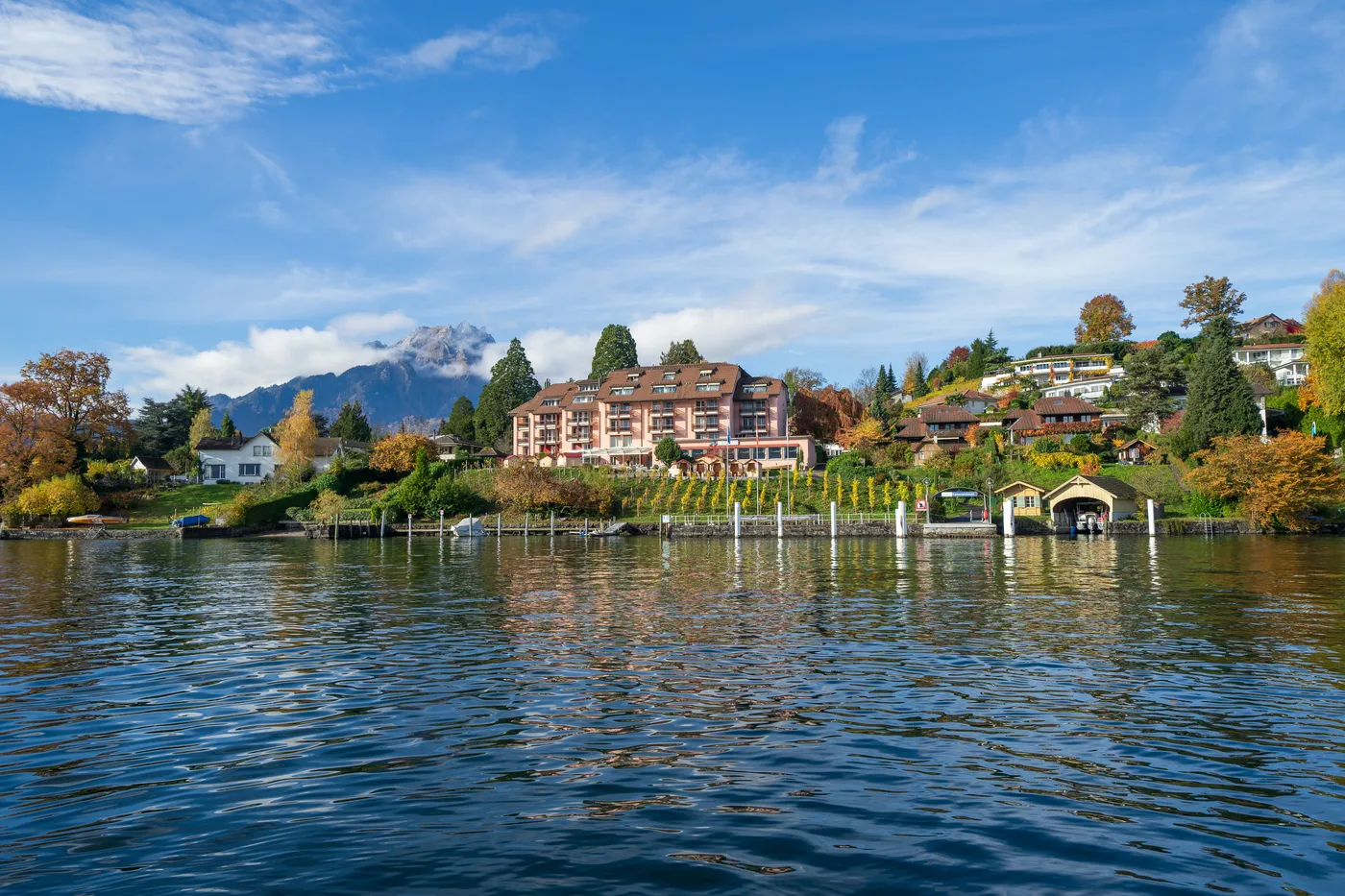
Kastanienbaum
This peninsula is known for its quiet bays and proximity to Lucerne. The area provides a glimpse into the residential landscape surrounding the lake basin.
Look for the peninsula lighthouse as the boat passes by.
Lake Lucerne Cruise Map Operational Hours
The cruise services operate daily to facilitate navigation and exploration of Lake Lucerne. Schedules are consistent throughout the week to support passenger travel requirements.
| Monday | 06:00–23:59 | |
|---|---|---|
| Tuesday | 06:00–23:59 | |
| Wednesday | 06:00–23:59 | |
| Thursday | 06:00–23:59 | |
| Friday | 06:00–23:59 | |
| Saturday | 06:00–23:59 | |
| Sunday | 06:00–23:59 |
Lake Lucerne Cruise Map Admission and Fee Structure
Access to the Lake Lucerne lakefront is provided at no cost, though specific cruise operations require individual tickets per route. Fees are structured based on the selected passage and passenger category.
Adults pay a variable rate based on the specific route distance selected, with prices adjusting according to the chosen destination and travel class.
Check availability
Frequently asked questions about lake lucerne cruise map
Everything you need to know about lake lucerne cruise map